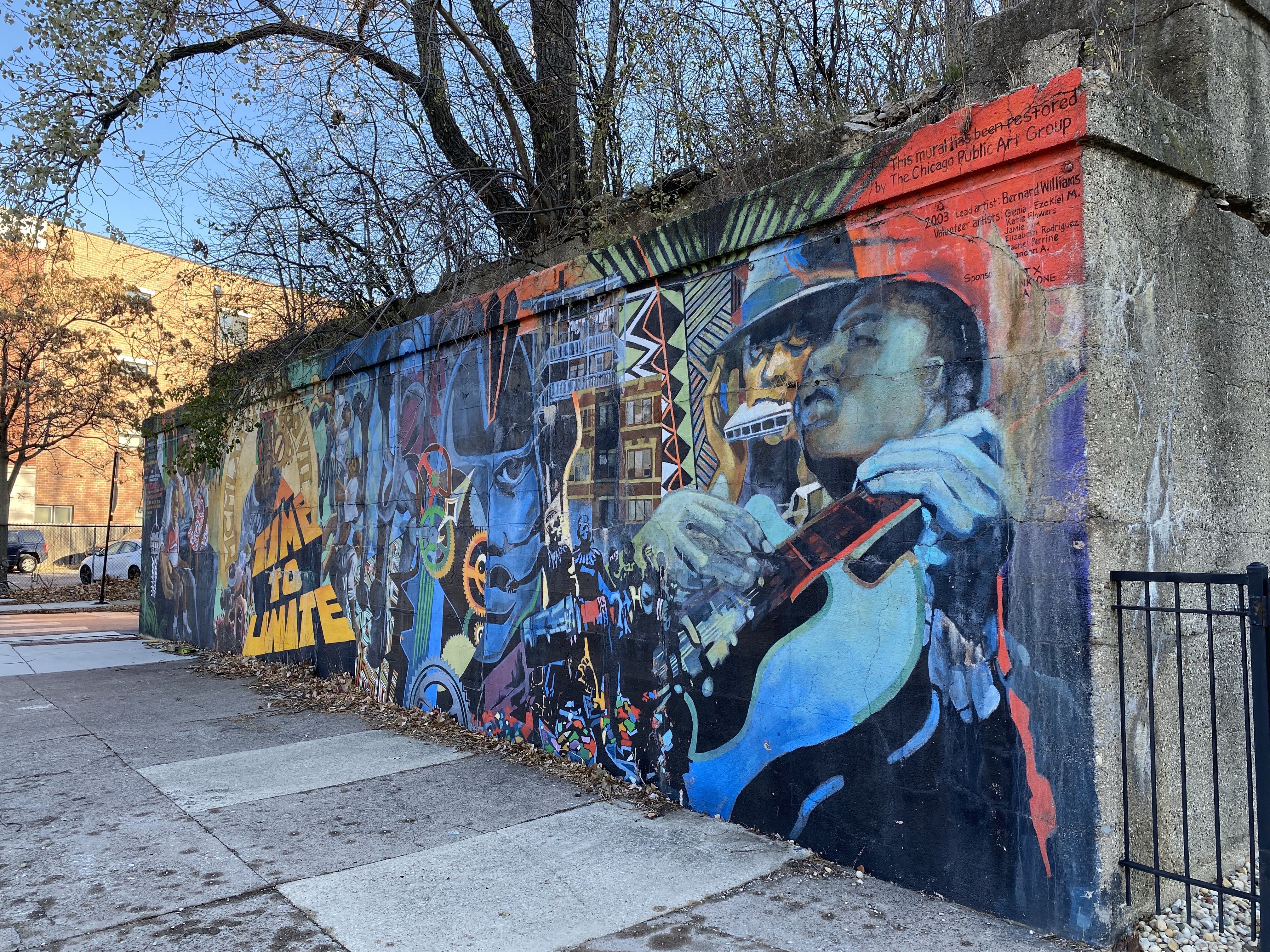
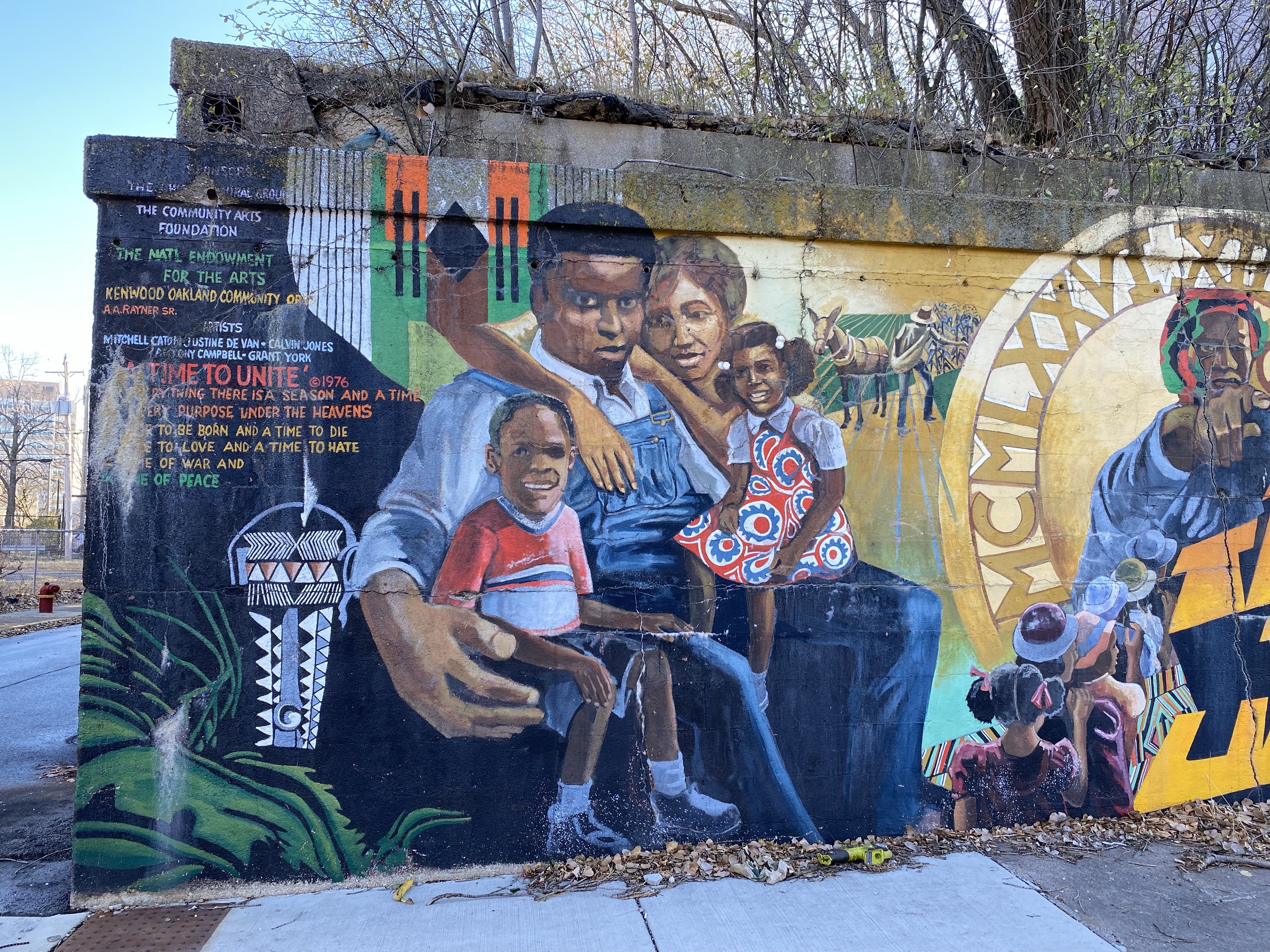
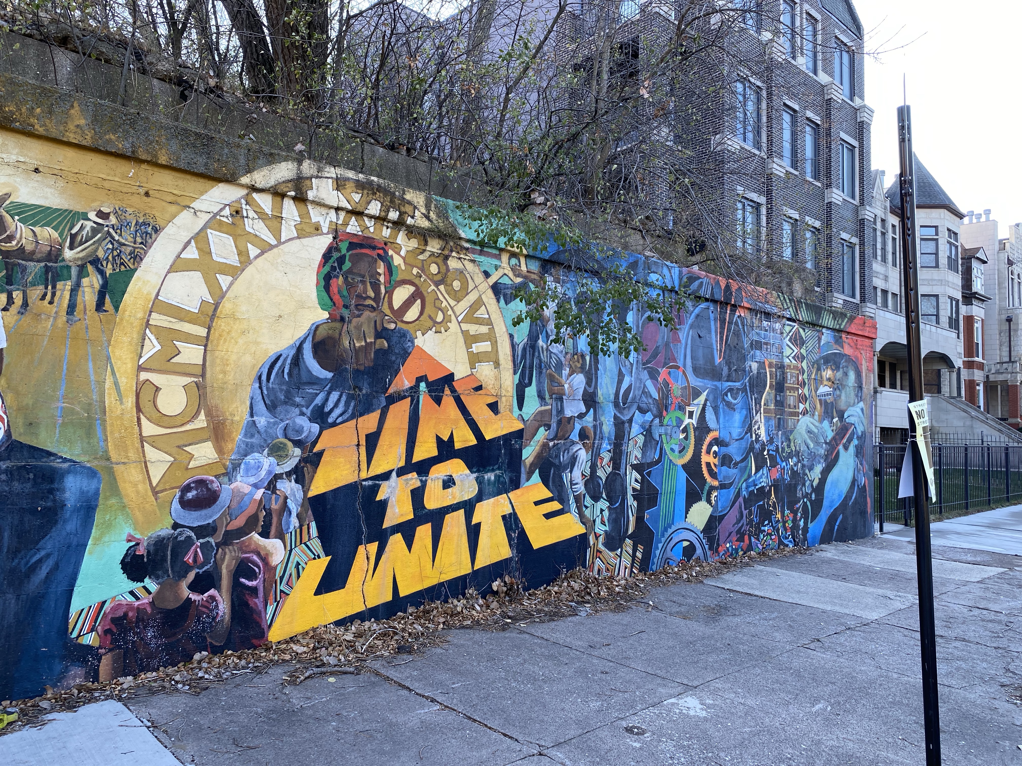
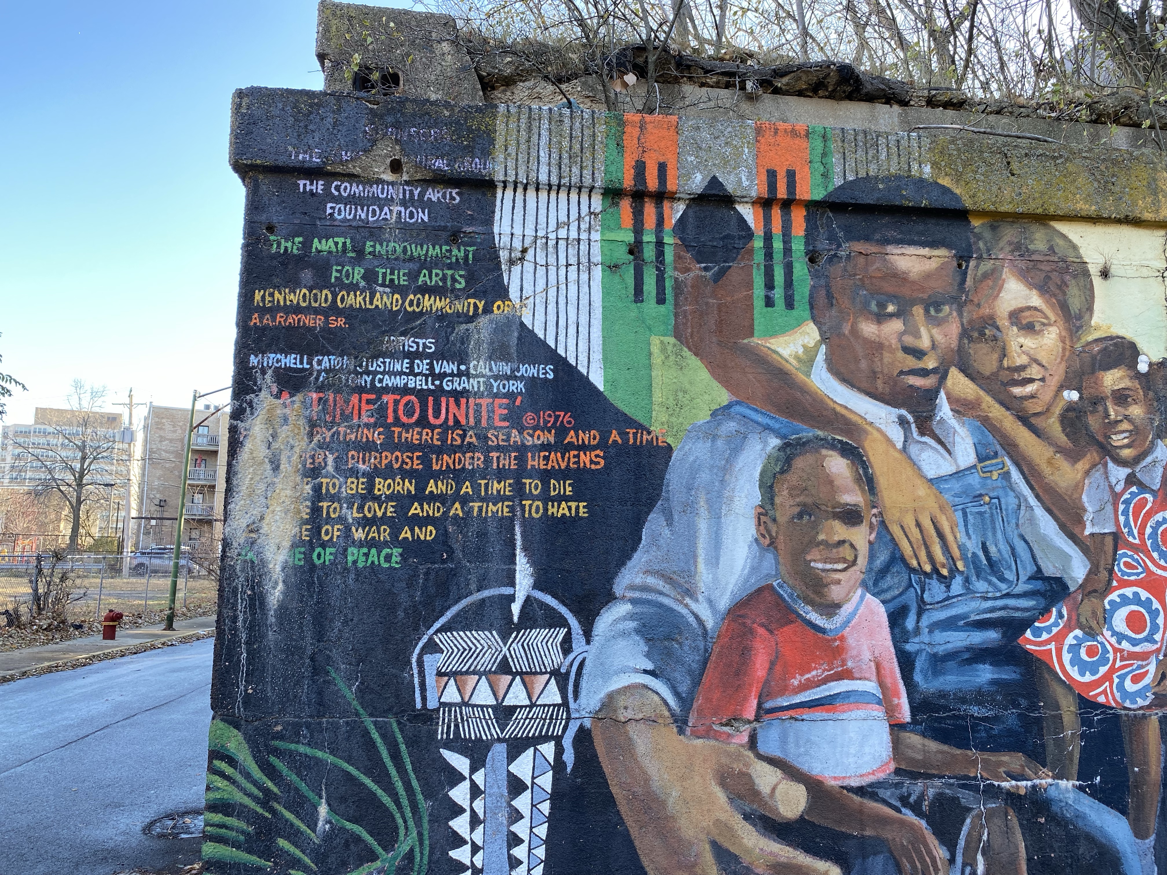
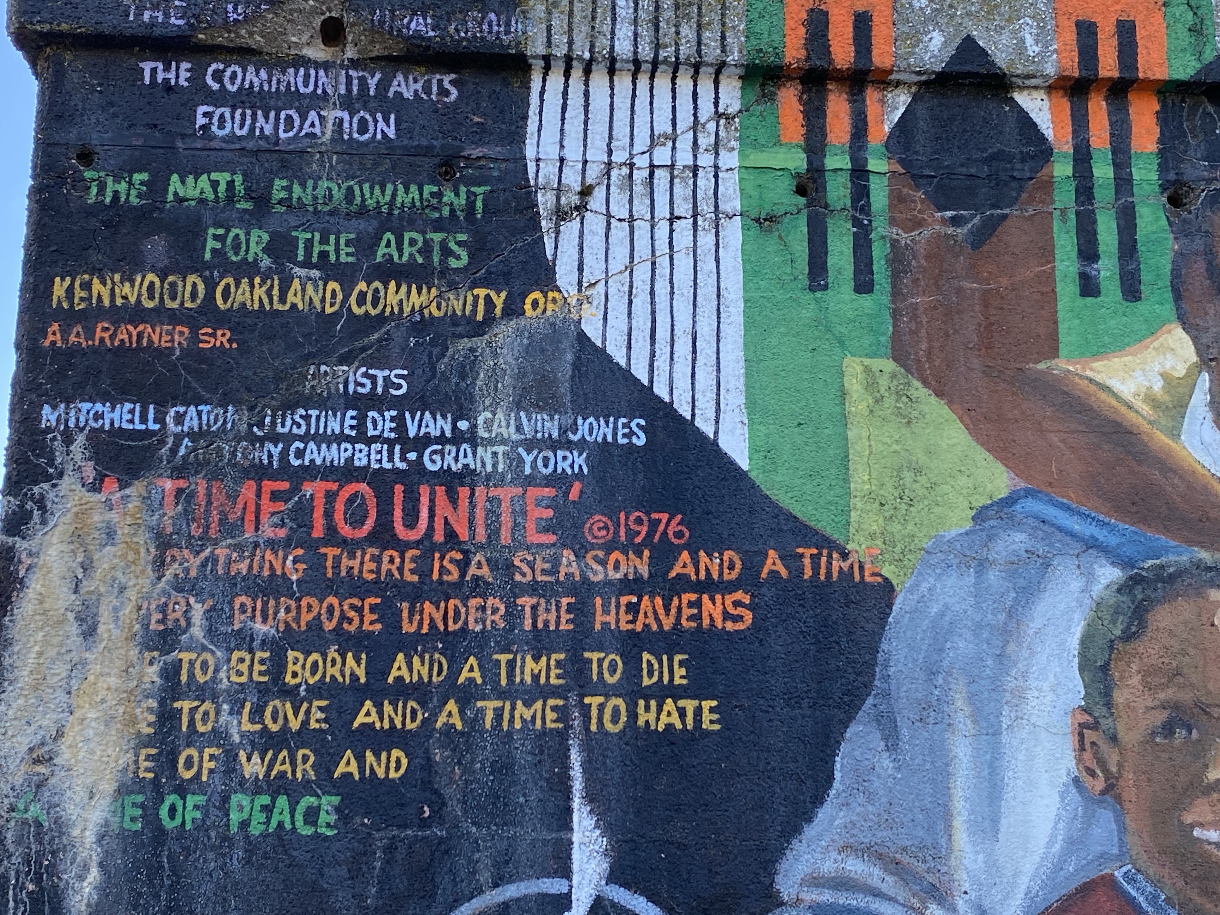
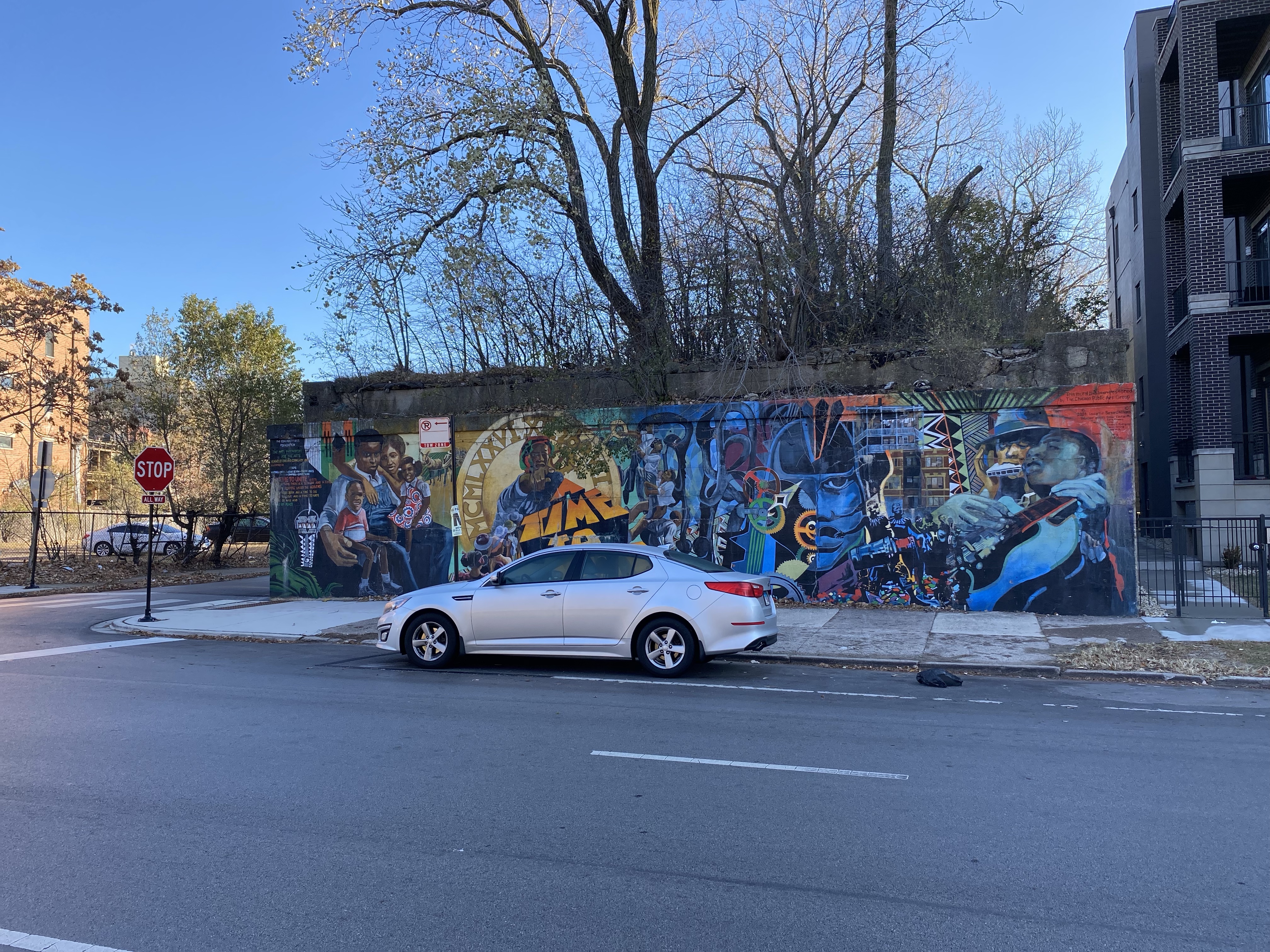
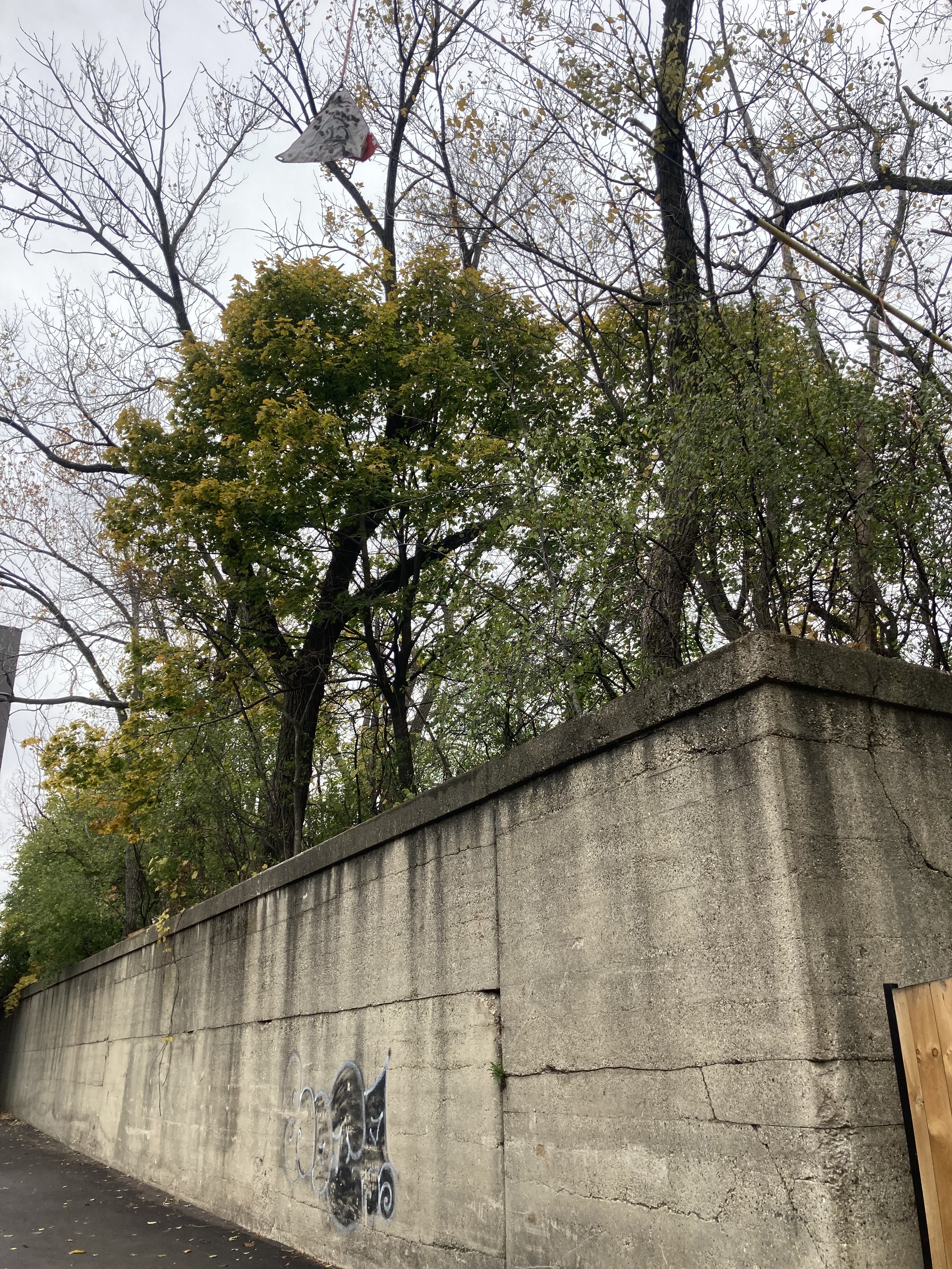
About 13′ tall, 52′ wide, and 430′ in length, its area being approximately 22,360 square feet, this part of the embankment is between Drexel Blvd and Ellis Ave. Its north wall faces 41st St and its south wall, an alley and an apartment building on Drexel Blvd. There is a mural on its Eastern Wall of Drexel Blvd.
According to https://www.chicago-l.org/operations/lines/kenwood.html the Chicago Transit Authority closed the embankment for public use (Kenwood Branch) in 1957 but the Chicago Junction Railway continued using it for commercial purposes until the 1960s.
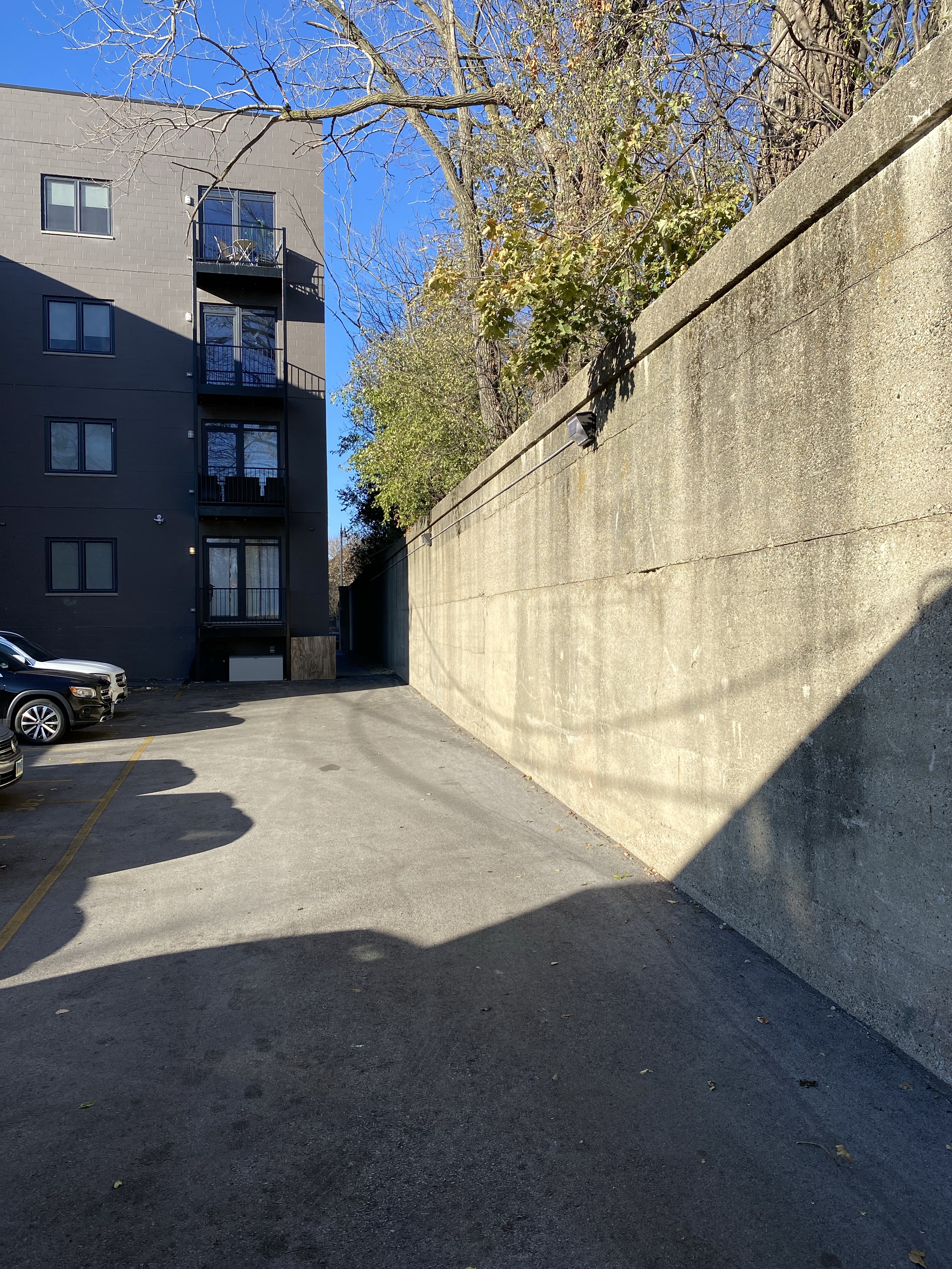
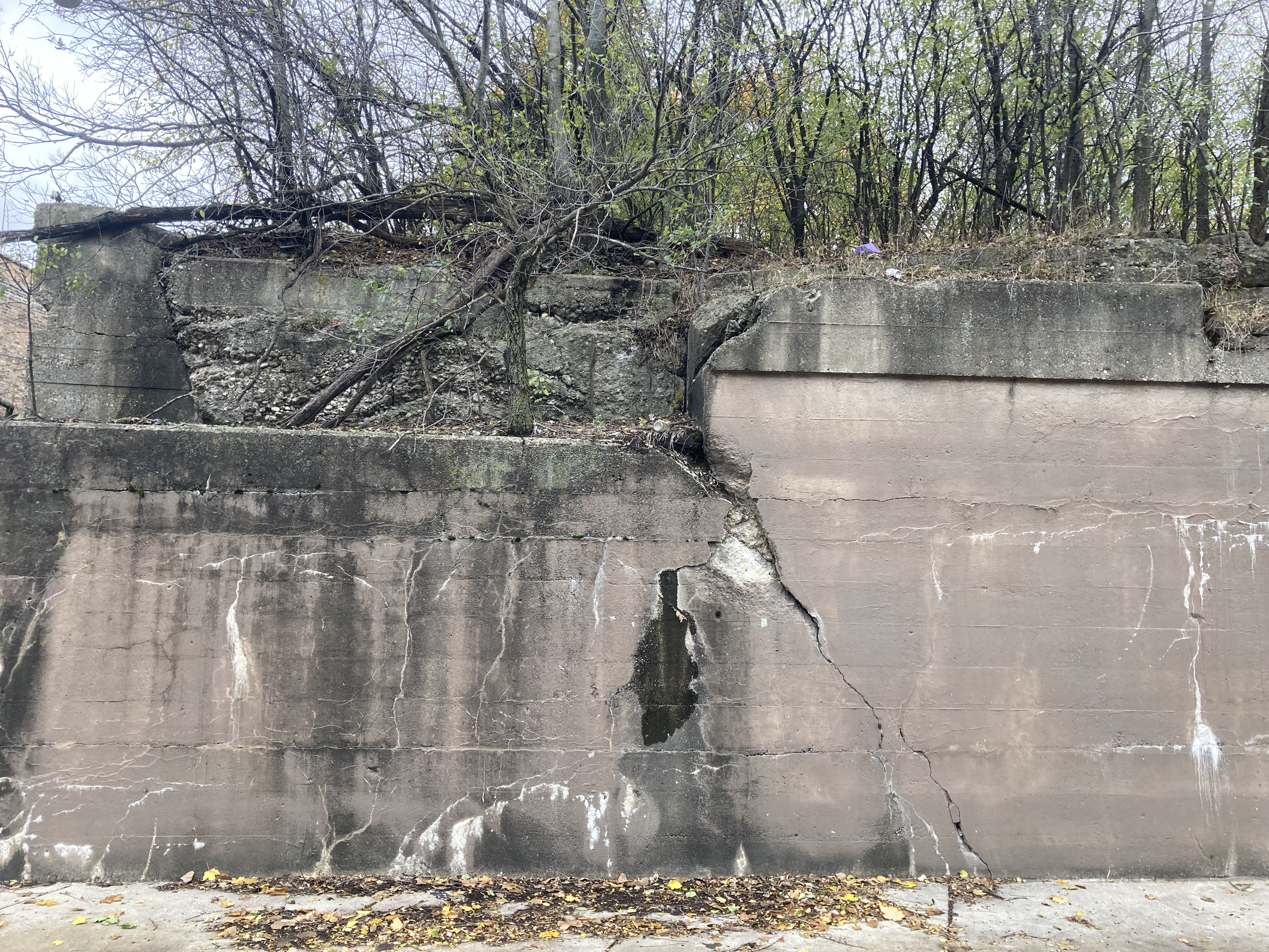
The CJRE is about one mile long and it is located in the Kenwood neighborhood of Chicago’s south side. It is visible mostly along 41st Street, running from South Lake Park Ave, which is close to Lake Michigan, to highway 90/94. Some sections of it no longer exist and a forest has grown on top of it. Below is a video of this section of the CJRE and some photographs.


The Ellis and Lake Park Station
The Chicago Junction Railway Embankment: Ellis Ave to Drexel Blvd and Mural
Cottage Grove Ave Mural, and West to 41st St
North of 41st St to South Langley Ave and 40th St
South Langley Ave and north of 40th St to the Abandoned Vincennes Station
Vincennes Ave to MLK, along south side of E Oakwood Blvd, north of Paul G Stewart Apartments
The South Parkway Train Station on Martin Luther King Drive
The mural on the West side of Martin Luther King Drive
West of MLK Drive to Calumet Ave
West of South Prairie Ave to S Indiana Ave
Indiana Train station
South Michigan Ave to South Wabash Ave
West South Wabash to East South State street
West of South State St to S Dearborn St
References:
https://en.wikipedia.org/wiki/Kenwood_branch
7 CTA train lines you never knew existed
The “L”, The Development of Chicago’s Rapid Transit System 1888-1932 by Bruce G. Moffat, 1995
Copyright © 2022 Jorge Luis Carbajosa
